CoMMA Neighbourhood Atlas
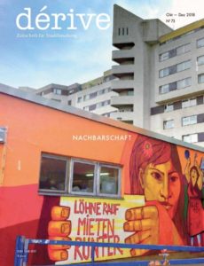
An article by Lorenzo Tripodi published in Dérive summarising our research on collaborative atlases.

An article by Lorenzo Tripodi published in Dérive summarising our research on collaborative atlases.

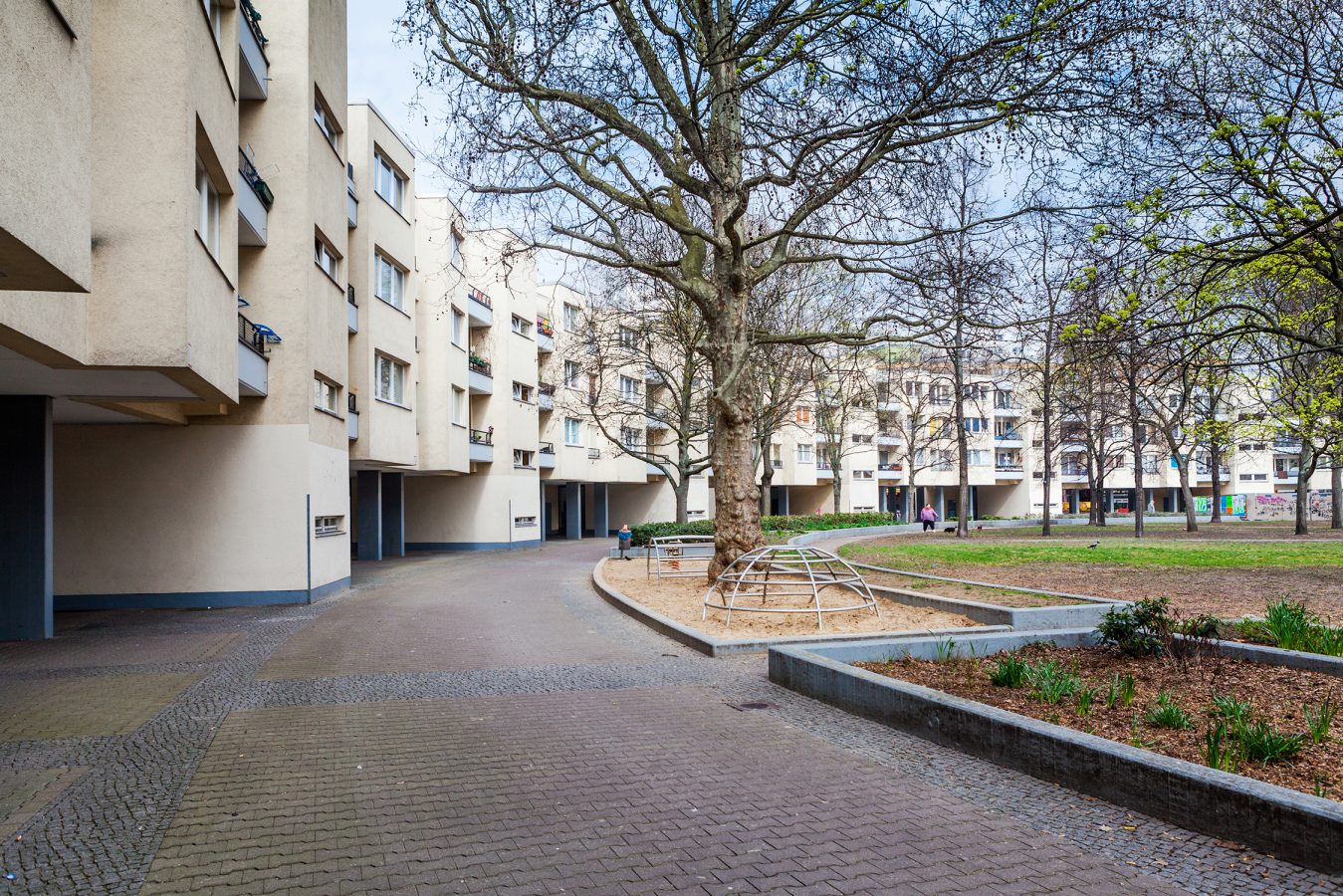
Suffering from its marginalized position during the years of the German division, the neighborhood was recognized and labelled as a deprived area in 2005 due to its low standards of economic development, its poor social integration and quality of life. These characteristics made the territory of Südliche Friedrichstadt a periphery in the centre of Berlin, as the area is located in the proximity of some of the city’s main attractive spots, such as the lively Mitte and the creative Friedrichschain-Kreutzberg. In a twenty-year time-span, a set of policies of local urban renewal has been gradually implemented to re-centralize the neighborhood, starting from the very re-centralization of the role of its residents in directly participating in small decision-making processes. This served to acknowledge, create and institutionalize their identity as a geo-social collectivity. Commercial, leasure and creative initiatives have begun to flourish in the area, projecting it as an emblem of juxtapositions and contradictory tendencies characterizing modern urban contexts, whereby transitions to new lifestyles are mediated by old identites and latent risks of gentrification, displacement and social conflicts.